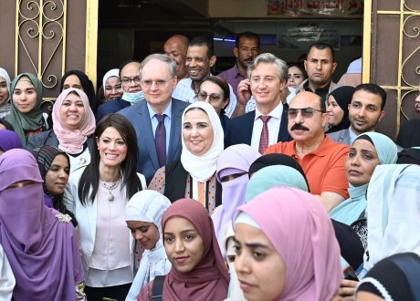
Egypt, UNDP, EU working together to promote sustainable development in Aswan
Egypt’s Ministry of Social Solidarity, the United Nations Development Program (UNDP) and the European Union ...
The Copernicus services provide valuable data in support of efforts to protect wetlands, with a new Copernicus tool targeted at wetlands soon to be launched.
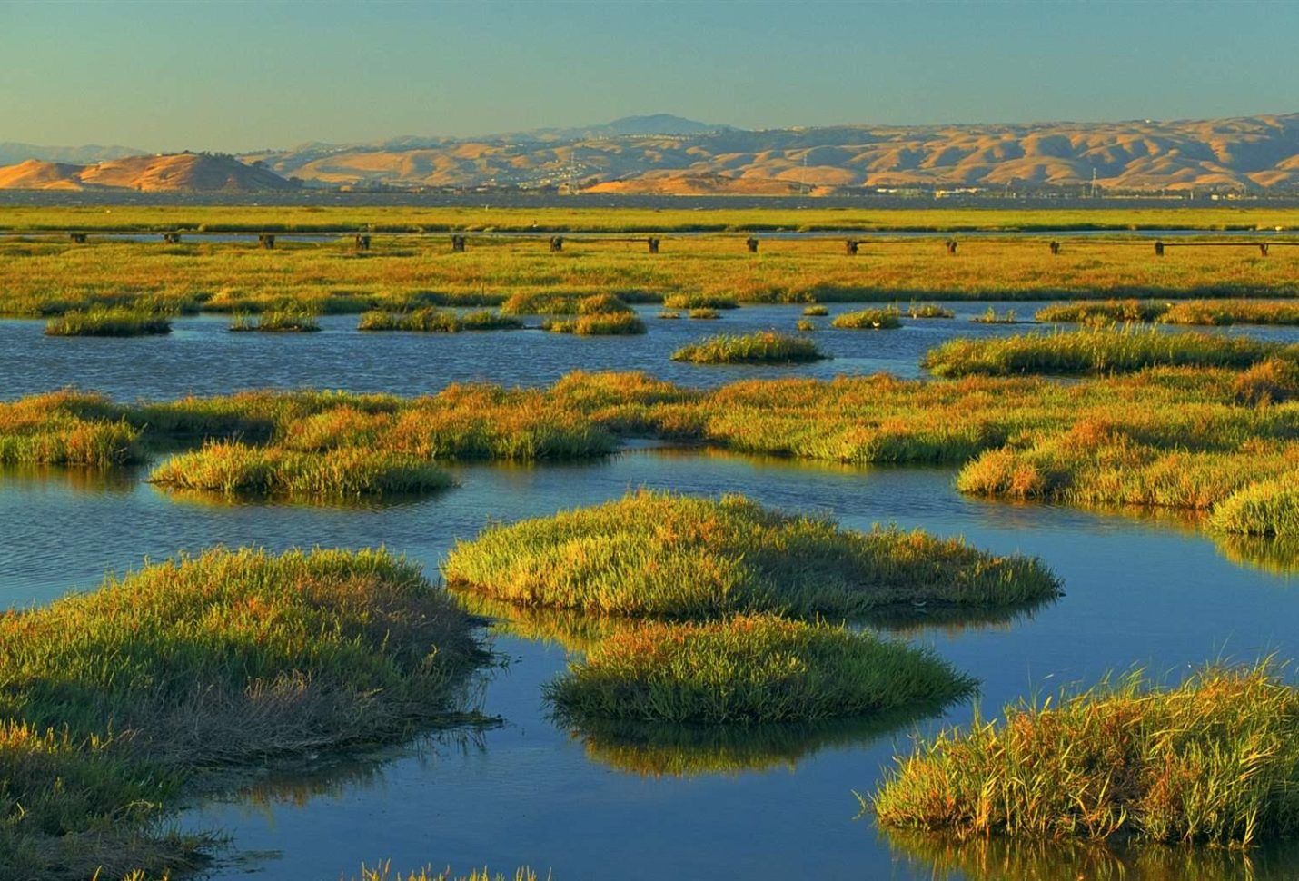
Wetlands sustain human life – they filter water and provide food, while at the same time supporting biodiversity and helping to mitigate the effects of climate change. However, wetlands are also the Earth’s most threatened ecosystems, disappearing at three times the rate of forests.
According to the Global Methane Budget, despite covering only around 6% of the Earth’s surface, wetlands are estimated to contribute up 20-30% of global methane. To provide a clearer understanding of concentrations of methane and other gases, Copernicus Atmosphere Monitoring Service (CAMS) uses instruments on the ground, in the air, and onboard satellites to monitor and record levels of these gases in the atmosphere.
By comparing up-to-date model simulations of methane, created using emission inventory datasets, with observations from the Copernicus Sentinel-5P satellite, CAMS is able to detect anomalies in local methane concentrations anywhere in the world, giving a more accurate picture of natural sources and sinks of the gas.
CAMS methane analysis and forecasting is soon to be complemented by a new product – a wetlands model that will increase our understanding of methane fluxes from the world’s wetlands. The new model is to be launched later this year as part of an upgrade of the European Centre for Medium-Range Weather Forecasts’ (ECMWF) Integrated Forecasting System. It will enhance existing CAMS atmospheric products, which provide near-real time analysis and forecasting of atmospheric concentrations of greenhouse gases, with a more dynamic modelling of methane emissions from wetlands.
The new wetland model will eventually contribute to the ECMWF-coordinated anthropogenic CO2 emissions Monitoring and Verification Support Capacity (CO2MVS). This tool, as its name suggests, is primarily concerned with pinpointing anthropogenic sources of carbon dioxide, but monitoring of methane fluxes and emissions will also be a major focus.
Wetlands have also been affected by an increase in the frequency and intensity of wildfires around the globe, due to the impacts of climate change. Here too, CAMS data is used to monitor the location, intensity and estimated emissions of wildfires, and to track the transport and composition of the resulting smoke.
Data generated by Copernicus Climate Change Service (C3S) also aids in wetland conservation. The Copernicus Climate Change Service generates a wealth of data on precipitation, soil moisture, surface temperature, river flow and other climate indicators that affect wetlands. This information is not only used to track changes over time but also to predict how these variables will change in the future.
C3S produces datasets that give a clearer understanding of water level dynamics, such as water level change indicators for the European coast from 1977 to 2100, which can be used to support informed decision-making related to wetlands. What’s more, in its Sectoral Information System (SIS) C3S has developed user-driven applications that make climate data accessible and relevant to the needs of specific sectors, including the water sector.
Other Copernicus Services also support wetland conservation efforts. Wetlands are particularly vulnerable to flooding and, the Global Flood Awareness System (GloFAS), operated by the Copernicus Emergency Management Service (CEMS), serves as a proactive early-warning system, aiding communities in preparing for and mitigating the impact of floods. Furthermore, the Copernicus Land Monitoring Service uses satellite data to provide detailed information on wetland extent, type and changes, in support of effective wetland management.
As the World Wetlands Day is observed on February 2, the world acknowledges the essential role that wetlands play in human wellbeing and the importance of understanding and nurturing these biodiverse ecosystems. Data and tools from the Copernicus services allow monitoring wetlands and take informed decisions to protect this threatened resource, ensuring their preservation for generations to come.
Egypt’s Ministry of Social Solidarity, the United Nations Development Program (UNDP) and the European Union ...
Saudi Arabia and the United Nations Environment Program (UNEP) have launched campaigns to combat desertification, ...
Cairo Festival City Mall (CFC), owned and operated by Al Futtaim Group, announced continued partnership ...


اترك تعليقا